
Electrical Network Creation and Management
Create, edit and maintain digital representations of electricity distribution and transmission networks. Organise and visualise network elements according to utility requirements.
POWERGIS® — Geographic Information System for Electricity Utilities. POWERGIS® is a Geographic Information System designed to create, manage, visualise and maintain geospatial information relating to electricity distribution and transmission networks. It enables utilities to maintain geographically referenced information about electrical infrastructure, network components and customer connections. By connecting spatial information with utility network records, POWERGIS® provides a comprehensive view of network assets and customer locations.
POWERGIS® is a Geographic Information System designed to create, manage, visualise and maintain geospatial information relating to electricity distribution and transmission networks. It enables utilities to maintain geographically referenced information about electrical infrastructure, network components and customer connections. By connecting spatial information with utility network records, POWERGIS® provides a comprehensive view of network assets and customer locations.

Key functional areas supported by POWERGIS®.
Create, edit and maintain digital representations of electricity distribution and transmission networks. Organise and visualise network elements according to utility requirements.
Georeference network elements against raster maps, survey maps and other approved spatial references to establish their geographical positions.
Support digitisation of electrical network infrastructure using appropriate mapping and digitisation techniques.
Identify and locate utility network elements through their geographical representation, supporting easier access to network information.
Locate customer connections geographically and associate customer information with corresponding network locations.
Maintain digital maps and electrical network overlays to support network visualisation, infrastructure management and operational analysis.
Maintain spatial information relating to utility assets and customer connections to support network documentation and management.
The following items are proposed future enhancement opportunities. They are not represented as currently available product features.
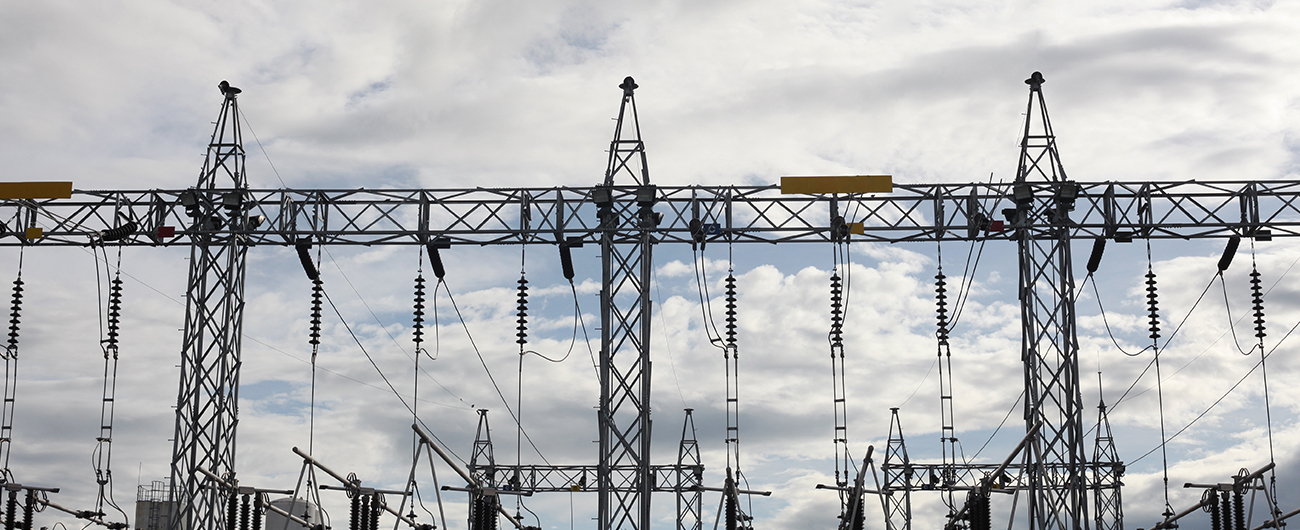
POWERGIS® supports deployment within a utility's own infrastructure or in a cloud environment, according to its technical, security and operational requirements.
Deploy the solution within the utility's own infrastructure and controlled IT environment, aligned with its architecture, security policies and operational requirements.
Deploy the solution in a cloud environment selected according to the utility's hosting, security, scalability and operational requirements.
POWERGIS® is used to create, manage and visualise geographical information relating to electricity networks, utility assets and customer connections.
Yes. Its core capabilities include network creation, digitisation, georeferencing and digital network visualisation.
Yes. Both deployment options are supported.
Yes. POWERGIS® 8.0 is an OGC Compliant and Certified Geographic Information System, certified by the Open Geospatial Consortium (OGC). You can verify the certification and view the official compliance details on the Official OGC Certification Portal.
Contact GECE to discuss product capabilities, deployment options, technical requirements and implementation scope.